October 29th - November 6th, 2004
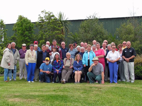

North Island
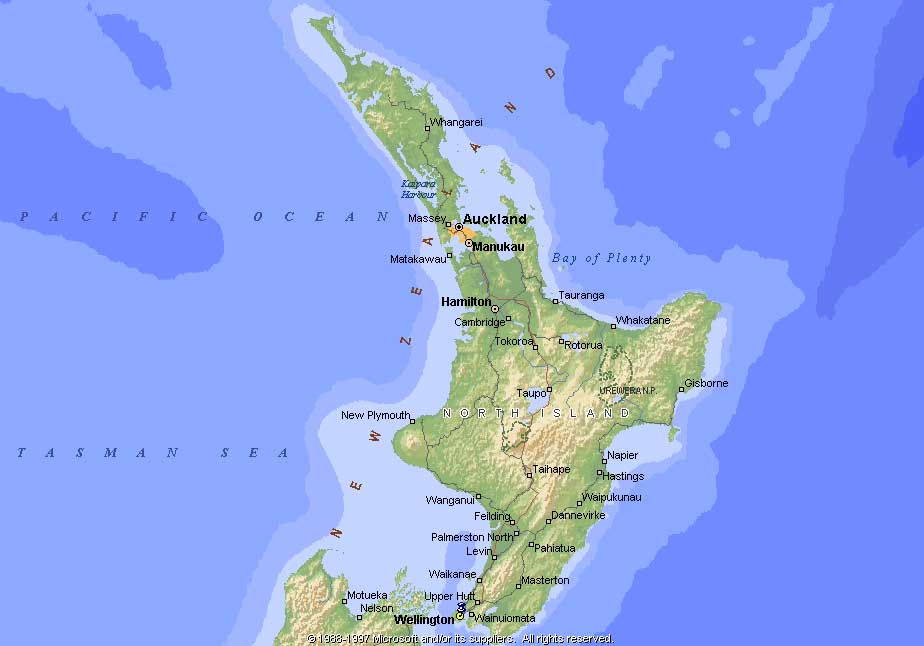
- Oct 29 - Auckland (21)
- Oct 30 - Auckland Area (56)
- Oct 31 - Auckland-Rotorua (16)
- Oct 31 - Rotorua Area (24)
- Nov 1 - Rotorua Area (26)
South Island
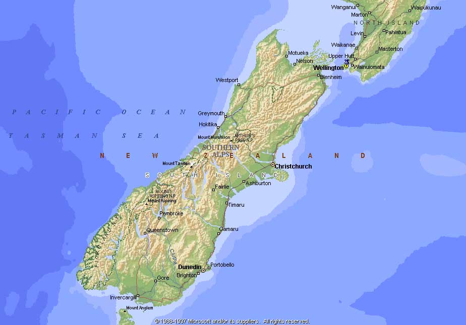
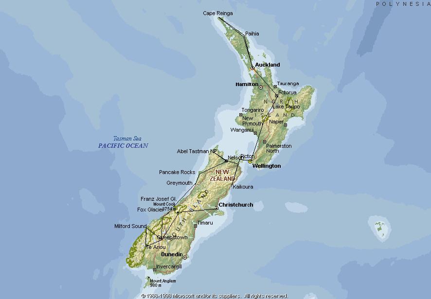
New Zealand is located in the southern Pacific Ocean, approximately 995 miles south-east of
Australia and approximately 6,000 miles from the U.S.
It is comprised of two main islands (North and South), plus several smaller islands of which all combined total a land area of 104,454 square miles (approximately 36 times smaller than the U.S, similar in size to the state of Colorado).
New Zealand is approximately 1,000 miles in length, from top to bottom. It geography includes spectacular landscapes incorporating the vast mountain chain of the Southern Alps (larger than the French, Austrian and Swiss Alps combined), a volcano region, fiords, glaciers, lakes, rainforests and extensive grassy plains.
New Zealand experiences summer from December - February and winter from June - August.
Highest point: Mount Cook 12,313 feet
Current population: 4,081,850
Longest Place Name In The World:
Taumatawhakatangihangakoauauotamateaturipukakapimaungahoranukupokaiwhenuakitanatahu
(Translation: The brow of the hill where Tamatea, the man with the big knees who slid, climbed and swallowed mountains, to travel the land, played his flute to his loved one).
This name is usually shortened to Taumata.